
Home
Art
About the Artist
Architecture
Maps
Modern
English Cities
Atlantis
Children's
Corporate
Contact

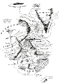
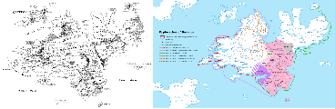
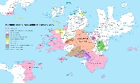
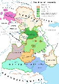
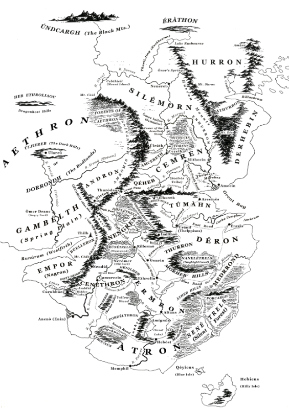
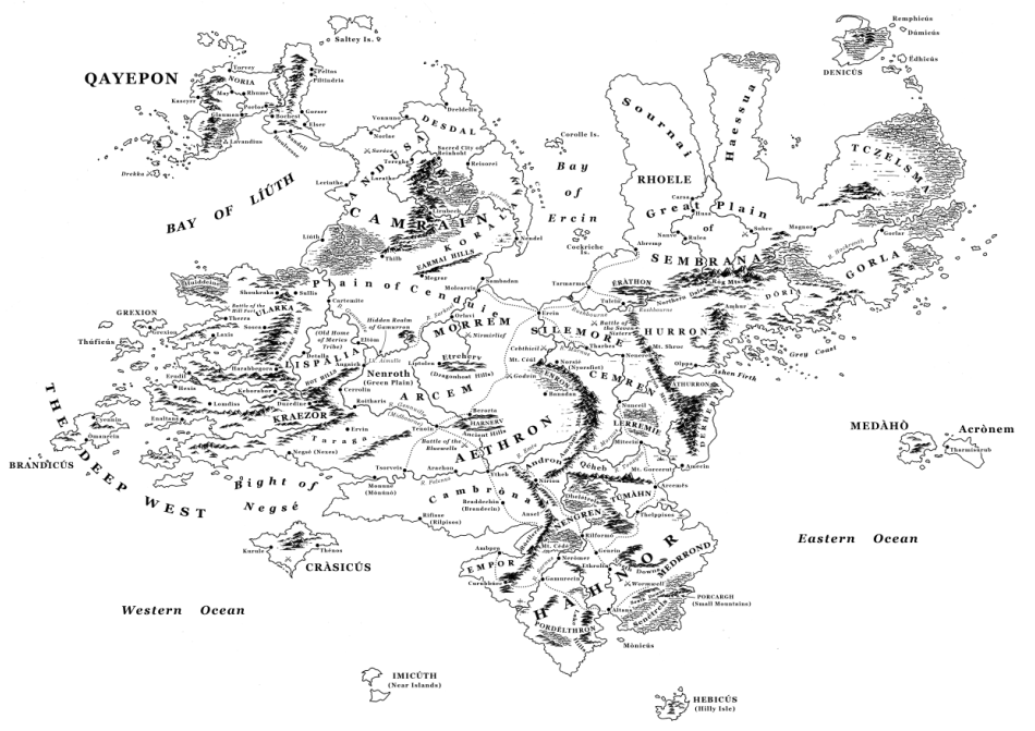
The history of the continent of Herenor has been extensively mapped for us, and the result is a clear appreciation of how its political developments unfolded.
Click below to see a map in full
© Copyright Paul David Holland 2017
General map of Hàhnor
General map of Herenor
Political map of Herenor in 13th C.
Political map of Herenor in 1972
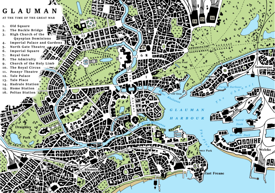
Glauman in 2580
Development of Lerremie in late 18th C.


| Altans home |
| Herenor Literature |
| Herenor Architecture |
| Discovery |
| Maps |
| Languages |
| Whither now? |
| Discovery |
| Preface |
| Bennathuf |
| Itinera |
| Four Seaons |
| Dreamwalker |
| Duhar |
| Last Emperor |
| Hyerreus |
| Courtesan |
| Cherso |
| Foen |
| Sonnets |
| Myths |
| Contents : Diagram 3 |
| Contents : Diagram 2 |
| Contents : Diagram 1 |
| Dhal |
| Creation |
| Alphabets |
| Grammar |